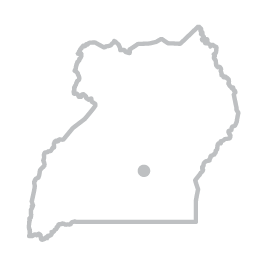
CAPITAL - KAMPALA
Area:
93,065 km2 (land - 76,101 km2,
water - 16,965 km2)

RELIGION:
Christian 84% and
Muslim 12% (2002 Census)

MAJOR INDUSTRIES:
Cotton, coffee, tea, sugar, tobacco and textiles.

CURRENCY:
Uganda Shilling (UGX)

EXCHANGE RATE :
US $ 1 = UGX 3,800
(average October 2018)

TIME zone:
GMT +3

POPULATION:
39,4 million
(2018 estimate – Bureau of Statistics)

ELEVATIONS:
Highest Point: Margherita Peak
on Mount Stanley at 5,110 metres

CLIMATE:
Tropical - rainy seasons March to May, Sept to November. Mean annual temperatures range from 16oC (61F) in the southwestern highlands to 25oC (77F) in the north-west; in the north-east temperatures exceed 30oC (86F) about 254 days per year.

HISTORY:
Uganda gained independence from Britain in 1962, maintaining its Commonwealth membership.

BUSINESS HOURS:
Mon to Fri 8:30 am to 5:30pm

INTERNATIONAL
DIALLING CODE:
+256

TRIBES:
Buganda, Iteso, Basoga, Banyankore, Banyarwanda, Bakiga, Langis, Acholi, Lugbara, Banyoro, Batoro, Karamojong, Bagisu, Madi, Japadhola, Samia, Kakwa, Nubian, Bagwere, Banyole, Bakonzo, Alur, Kumam, among others.
GEOGRAPHY:
Uganda is landlocked. The south of the country includes a substantial portion of Lake Victoria.
The center is dominated by Lake Kyoga.

TOPOGRAPHY:
The greater part of Uganda consists of a plateau. Along the western border are the Rwenzori Mountains.
The eastern frontier is dominated by Mount Elgon, while the Western Rift Valley runs from north to south through the western half of the country.

BANKING HOURS:
Mon to Fri 8:30 am to 6:00pm;
Sat 9:00 am to 4:00pm

ELECTRICITY:
240 volts AC50 Hz -
square-pin plugs mostly used